Intrepid Itinerant: Manuel Godinho and his journey from India to Portugal in 1663
Bombay: Oxford University Press, 1990. Hardcover. xi, 251p., cloth-covered boards, 5.75x9 inches, map endpapers, very good condition in like dj. More
Cat.No: 265639
Bombay: Oxford University Press, 1990. Hardcover. xi, 251p., cloth-covered boards, 5.75x9 inches, map endpapers, very good condition in like dj. More
Cat.No: 265639
New Delhi: Jayaprints, 1983. Hardcover. 239p., sixty-five rare maps reproduced here, "some for the first time since they were printed centuries ago". Hardbound in textured brown boards gilt, spine titling is slightly askew, item enclosed in its dust jacket, which is slightly edgeworn. Clean, sound and unmarked, a very good..... More
Cat.No: 279334
Edinburgh: Charles Skilton Ltd, 1978. Hardcover. 126p., furnished with color and b&w reproductions (32 are called for) on coated inserted stock. Hardbound in bright orange cloth boards gilt and enclosed in the decorated dust jacket. Clean, sound and unmarked, a very good copy. More
Cat.No: 279333
Nicosia: Bank of Cyprus, 1989. Paperback. 268p., illustrated with dozens of maps, about as many in color as b&w, fine production qualities, softbound in 10.5x7.5 inch dark blue wraps. Very nice copy, entirely sound, clean and unmarked. We are unsure, by the way, if "Part II" is aka "Volume II"..... More
Cat.No: 275782
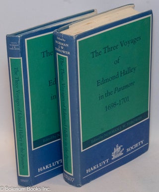
London: The Hakluyt Society, 1981. Hardcover. 392p., maps (folded, smallish) and illustrations as called for, with pocketed maps (all three, folded, large) in a separate binding, each casebound item Hakluyt-style: medium-blue cloth boards gilt and blind, in dust jacket. Corner-tips slightly turned, light foxing to top edge of textblock, and..... More
Cat.No: 281090
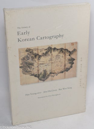
Larkspur, CA: Tamal Vista Press, 2008. Paperback. x, 209p., wraps, 8x11.5 inches, new in publisher's shrink wrap. Edited by Alexander Akin. Thoroughly illustrated history of early Korean maps, most photos in color, particularly focusing on the 15th to 19th centuries, with contributions by three of Korea's foremost scholars in the..... More
Cat.No: 128281
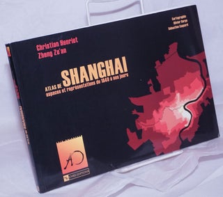
Paris: CNRS Editions, 1999. Paperback. 183 pages, 10.5x7.5 inches, illustrated wraps, illustrated with maps and drawings of Shanghai, very good condition. More
Cat.No: 265661
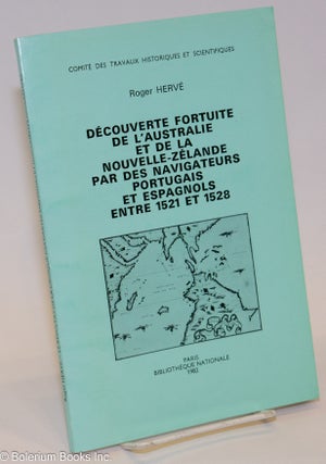
Paris: Bibliotheque Nationale, 1982. Paperback. 133p., b&w facsimiles appended (as called for), presswork on coated alkaline paperstock throughout and softbound in 9.5x6 inch printed green wraps. Except for some crimping to cover and text-block, a too-tight fault created at the printer/binders, item is in as-new condition: sound, clean and unmarked..... More
Cat.No: 276257
Paris: Bibliotheque Nationale, 1974. Paperback. 88p., text consists in annotated entries for 86 important maps, plus additional listings for allied holdings. Professionally printed on alkaline paperstock and softbound in generic plain printed wraps, Nice copy: entirely sound, clean and unmarked. More
Cat.No: 276342
London: Lund Humphries, 1969. Hardcover. 284p., profuse b&w illustrations immersed in the running text, mostly photographic (contemporary and exhibit) with an admixture of period images, hardbound in 8.5x8.5 inch black boards titled metallic red and enclosed in the dust jacket. Item bears a rubberstamp ownership and is very faintly "dished"..... More
Cat.No: 271903
London: The Hakluyt Society, 1980. Hardcover. xiv, 225p., illustrations & maps as called for, including not only ancient charts but a satellite photo of the Indus' delta, hardbound in Hakluyt fashion: skyblue cloth boards gilt & blind and the dust jacket. Textblock edges are lightly foxed with a touch of..... More
Cat.No: 281251
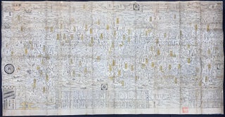
Edo: Sagamiya Tahē, 1703. Map. Approximately 67x34.25 inch folded map, fitted together from separate woodblock prints. The folded map is stored in a modern blue case. Examples of this map are often found colored by hand, but this example remains relatively unadorned, with only yellow coloration added to cartouches. Minor..... More
Cat.No: 297989
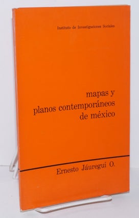
Mexico: Instituto de Investigaciones Sociales, 1968. 132p., wraps, includes 6 maps, book plate of previous owner, ex-library, spine cocked, else very good. Text in Spanish. More
Cat.No: 151975
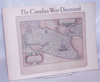
Calgary: Glenbow Museum, 1983. Paperback. 75p., wraps, 12x9 inches, maps, a few small stains on front wrap and front blank, foreedge lightly foxed else good condition. More
Cat.No: 267433
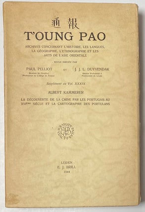
Leiden: E. J. Brill, 1944. x, 260p., xxiii, very good paperback. Published as a supplement to vol. xxxix of T'oung Pao. Illustrations in black and white. More
Cat.No: 263982
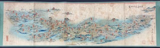
Edo: Kinrindo Seishichi. 金鱗堂清七, [1866]. Five prints joined together, mounted on a later scroll, total 48x14 inches. Numerous ownership seals, moderate spotting throughout, penultimate print has a rectangular stain at the center. A map-scroll depicting famous sites across the breadth of Japan. More
Cat.No: 313867
Hamburg: Hamburg, Hydrographisches Institut, 1968. Hardcover. 105p., but with at least 20 unnumbered pages of facsimiles of North Sea maps in back of book, 9x13 inches, In German language but summaries in German, French, English and Russian. More
Cat.No: 267476
Taibei: National Palace Museum, 2012. 189 pages, very good paperback, text in Chinese with captions in English, profusely illustrated in color. More
Cat.No: 269356
Montréal: McGill-Queen's University Press, 2004. Hardcover. 397pages, 10x13.25 inches, glossy, illustrated dj (very small tear of same at top), illustrations, photos, maps, drawings, and paintings, very clean copy. Originally published in French, this book stands as an illutrated biography of Samuel de Champlain as it bookended by the history of..... More
Cat.No: 264108
London: George Routledge & Sons, Ltd., 1930. Hardcover. illustrated with 8 facsimile period images and 3 maps, excellent presswork on beautiful alkaline paperstock throughout. Top edge tinted pink. Hardbound in waxed rose-color cloth boards gilt, titling bright, cloth a little handled with an odd small dent midway up the spine..... More
Cat.No: 279867
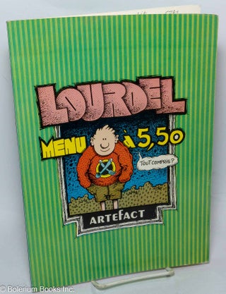
Enghien: Artefact, 1981. Comic. 49p., 8.25x11.5 inches, text in French, comic strips and panels, very good first edition comic book in pictorial wraps. Collection La crainte 7. Only 2 holdings located in OCLC as of 6/2023. More
Cat.No: 304728
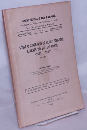
Curitiba: Conselho de Pesquias do Universidade do Parana, 1959. 64p., slender paperback, three fold-out maps; covers toned, mild shelfwear. Boletim da Universidade do Paraná, Geografia Fisica, no. 1. More
Cat.No: 269139
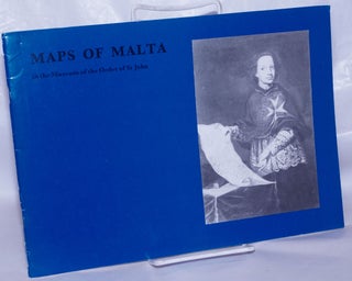
London: The Order of St. John, 1989. Paperback. 40p., stapled wraps, 11.5x8.25 inches landscape format, illus., wraps lightly worn else very good condition. More
Cat.No: 267408
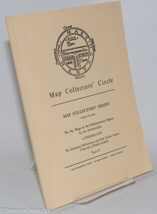
London: Map Collectors' Circle, 1973. Magazine. Pp.39-68, professionally printed on alkaline paperstock, softbound in plain printed buff wraps, mild edgewear with a corner-tip crease, otherwise sound, and entirely clean and unmarked. Ninth volume of map collectors' series no. 89. More
Cat.No: 276339
Lisboa: Academia de Marinha / Instituto de Investigacao Cientifica Tropical, 1987. Hardcover. 430p., illustrated with facsimilies of ancient and contemporary maps, period images and contemporary photography, presswork on coated alkaline paperstock. Hardbound in 10x7.5 inch faux-leather boards gilt. Single volume only, nice copy, entirely sound, clean and unmarked. More
Cat.No: 275797